Streamflow Science
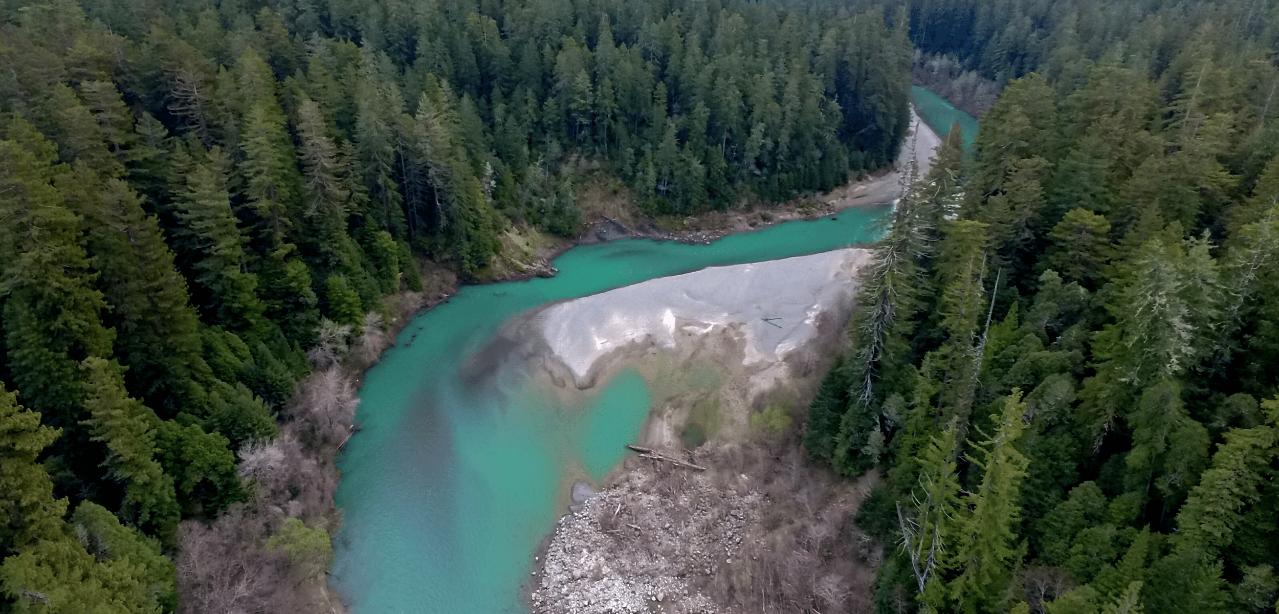
Streamflow Science
 © Kevin Arnold
The Coalition Conducts Streamflow Science Work
Science provides the foundation for all of the Coalition’s work to improve North and Central Coast streamflows. It supports our policy strategies by defining the problems to be solved, providing a basis for proposed solutions and promoting productive partnerships with agency staff. Likewise, science supports Collaborative Water Management by enabling us to create defensible streamflow goals, to monitor progress toward meeting those goals and to demonstrate the ecological benefits of our work. Finally, scientific analysis and data are essential to obtaining the water rights and permits needed to implement water management measures. Following are some of the main focus areas of our science work.
Flow Monitoring
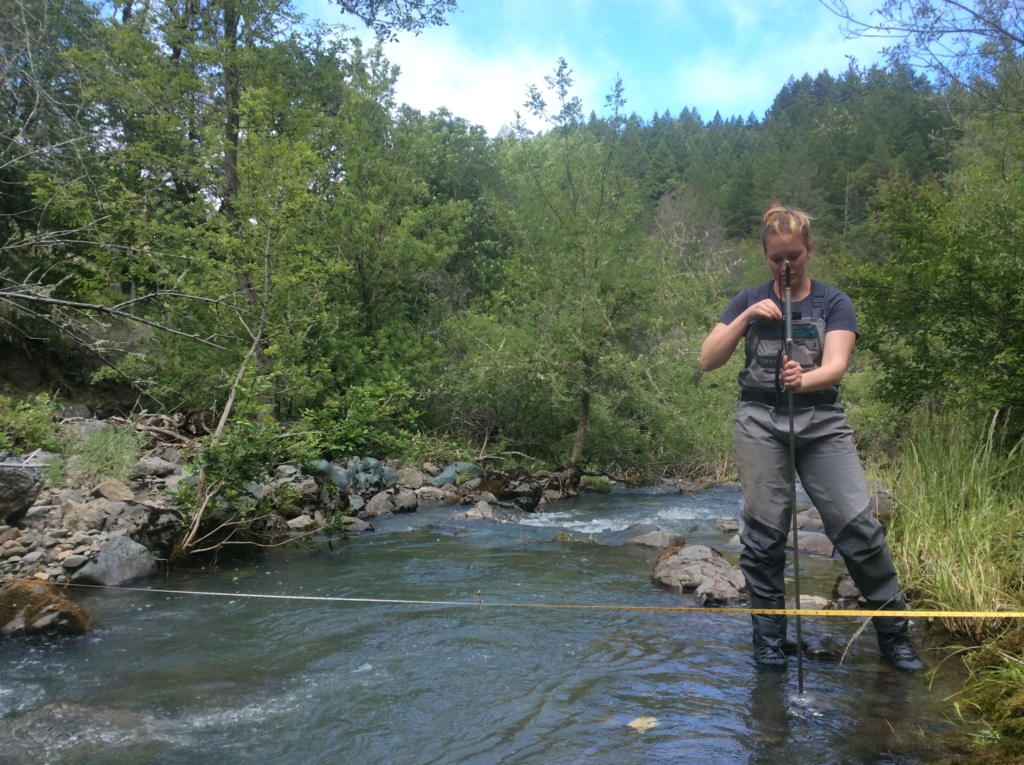 Streamflow monitoring © Trout Unlimited
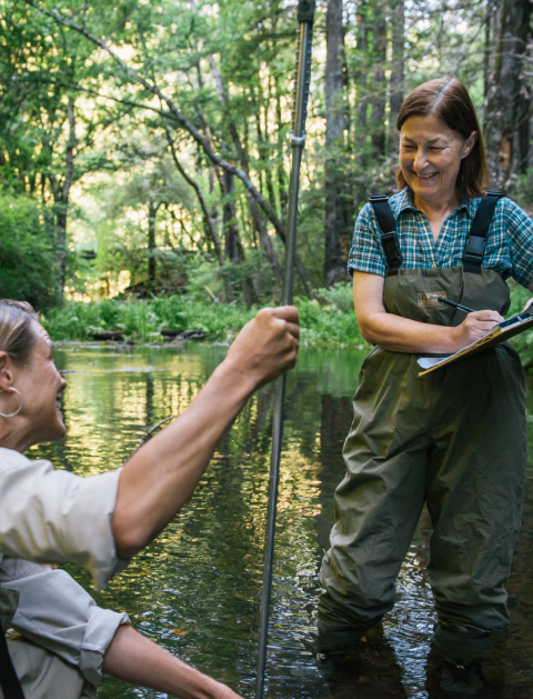
Our science teams conduct extensive streamflow monitoring in the watersheds that are the focus of our Collaborative Water Management efforts. This monitoring documents baseline conditions, helps us focus our work on high-priority stream reaches and documents the progress we’ve made toward reaching streamflow goals. In addition, in watersheds like the Shasta, Navarro and Russian river systems, our monitoring efforts provide the basis of our work to develop new scientific methods to quantify minimum instream flow thresholds for fish and other aquatic life.
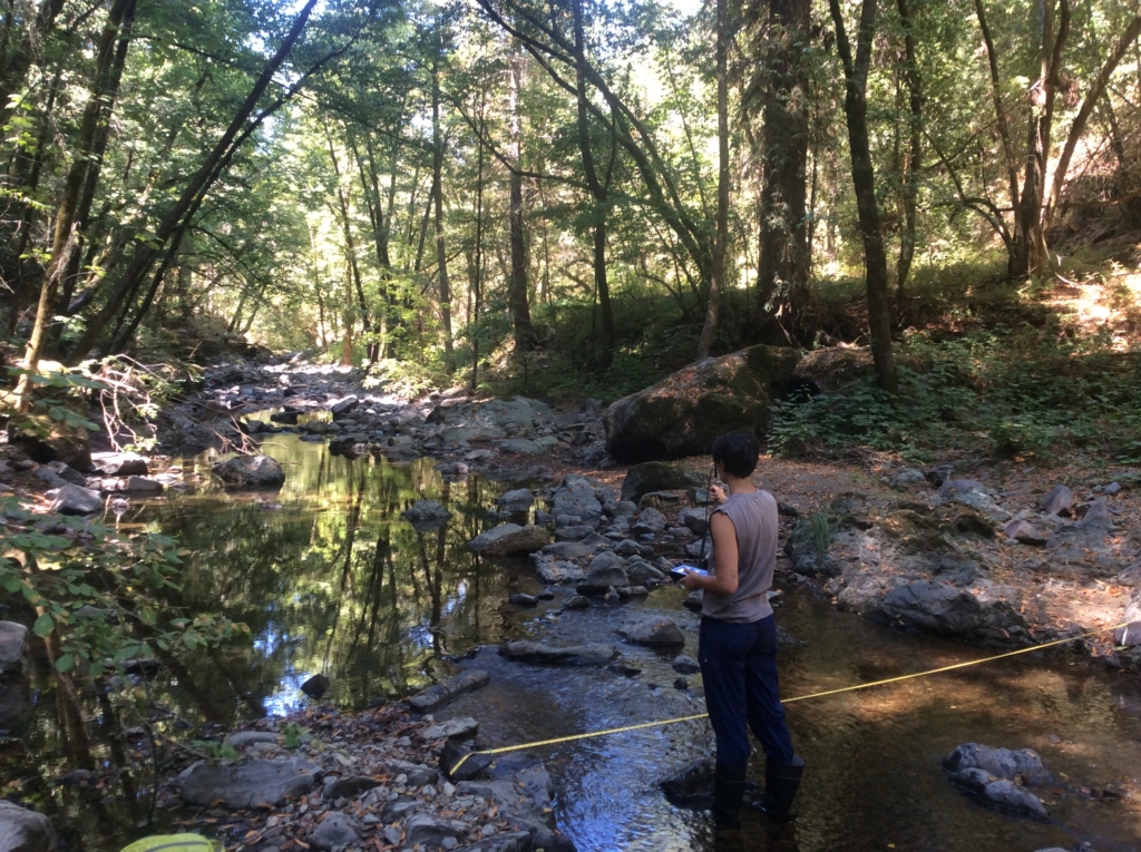 Streamflow monitoring © Trout Unlimited
Ecologically-Protective Flow Objectives
To restore streamflows, we need to know how much water people can safely divert, and when, without infringing on the minimum flows fish need to thrive. The Coalition has developed a peer-reviewed method called Modified Percent of Flow (MPOF), which is designed to make those calculations quickly and inexpensively, without the need for site-specific fieldwork. More broadly, our science staff is working with the state’s California Environmental Flow Framework (CEFF) group to develop workable streamflow criteria for the North and Central Coasts and other regions of the state.
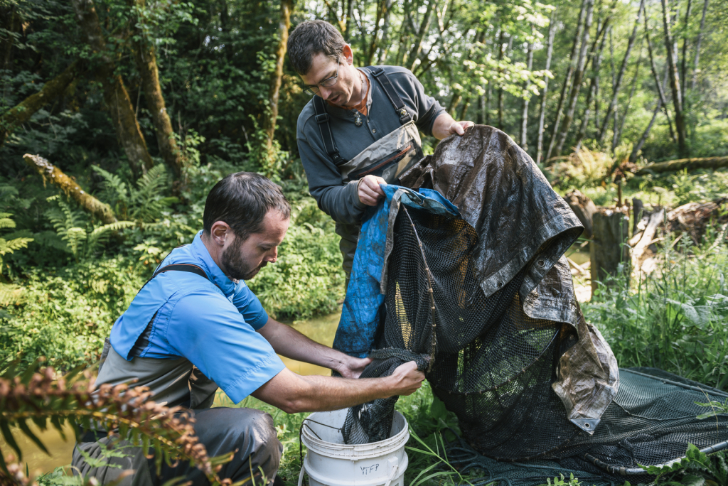 Biologists trapping and tagging Chinook salmon on a tributary stream of the Klamath River © The Nature Conservancy
Supporting Water Rights for Flow Restoration
Obtaining agency approval for flow restoration measures requires a detailed hydrological analysis to show the changes won’t harm other water users or fish. Most landowners don’t have access to the expertise needed to do this, which can be a significant barrier to restoration work. Coalition scientists have created new models to streamline the processes of quantifying existing streamflows, accounting for existing water demand and estimating actual water demand from aerial imagery. Our goal is to make these tools sufficiently user-friendly that local collaboratives can use them to plan and develop projects with minimal effort.

